Bar nearby Olive Gardens Hotel- Hurlingham Nairobi
Kenya
Bar nearby Olive Gardens Hotel- Hurlingham Nairobi
Olive Gardens Hotel- Hurlingham Nairobi
Argwings Kodhek Road, Hurlingham, Nairobi, Kenia
contacts phone
:
+254 714 680745
Latitude:
-1.294457
, Longitude:
36.7959692
larger map & directions
read more
nearest Bar
129 m
Buffet Properties Ltd
Nairobi
Bar
read more
132 m
Tamasha Hurlingham
Argwings Kodhek Road, Nairobi
Bar
read more
2.9 km
Westlands
Nairobi
Bar
read more
2.9 km
Valls Wines & Spirit
Nairobi
Bar
read more
2.9 km
Smarta Pub
Smarta Pub, Nairobi
Bar
read more
2.9 km
Lucky Summer Lifestyle
ngomongo police, Nairobi
Bar
read more
2.953 km
The Loft
Westlands, Nairobi
Bar
read more
2.96 km
Bar
Nairobi
Bar
read more
2.966 km
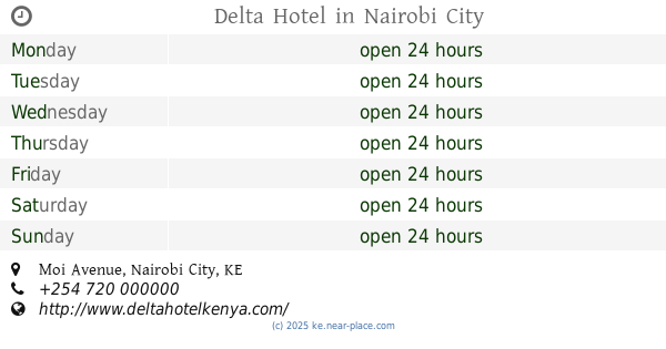
Delta Hotel
Moi Avenue, Nairobi City
Bar
read more
2.992 km
Smart Pub
Parliament Road, Nairobi City
Bar
read more
3.013 km
Le-Vans Restaurant
Ground Floor, Le-Vans Restaurant, Uhuru Highway, Nairobi
Bar
read more
3.135 km
Wine Bar
Mama Ngina Street, Nairobi City
Bar
read more
3.177 km
Tanagers
Kaunda Street, Nairobi City
Bar
read more
3.226 km
Tenage Bar
Nairobi
Bar
read more
3.256 km
Wimpy
Kaunda Street, Nairobi City
Bar
read more
3.264 km
Sky Lounge
Central Business District, Nairobi
Bar
read more
3.33 km
Scratch Pub
1st Floor, Sonalux House, Moi Avenue, Nairobi
Bar
read more
3.365 km
Legend Bar
Baricho Road, Nairobi City
Bar
read more
3.479 km
Club Hypnotica
Woodvale Grove, Nairobi
Bar
read more
3.49 km
Choices Pub and Restaurant
Baricho Road, Nairobi South Nairobi City, Nairobi
Bar
read more
3.493 km
Kingsman Inn
Hola Road, Nairobi
Bar
read more
3.504 km
Havana Restaurant
Woodvale Grove, P. O. Box 806, Nairobi
Bar
read more
3.542 km
Steps
Nairobi
Bar
read more
3.64 km
Dajos Bar & Restaurant
Workshop Road, Nairobi City
Bar
read more
4.428 km
Mercury
Nairobi
Bar
read more
📑
all categories
Accounting
Administrative area level 1
Airport
Amusement park
Aquarium
Art gallery
Atm
Bakery
Bank
Bar
Beauty salon
Bicycle store
Book store
Bus station
Cafe
Campground
Car dealer
Car rental
Car repair
Car wash
Casino
Cemetery
Church
City hall
Clothing store
Colloquial area
Convenience store
Courthouse
Dentist
Department store
Doctor
Electrician
Electronics store
Embassy
Establishment
Finance
Fire station
Florist
Food
Funeral home
Furniture store
Gas station
General contractor
Grocery or supermarket
Gym
Hair care
Hardware store
Health
Hindu Temple
Home goods store
Hospital
Insurance agency
Intersection
Jewelry store
Laundry
Lawyer
Library
Liquor store
Local government office
Locality
Locksmith
Lodging
Meal delivery
Meal takeaway
Mosque
Movie rental
Movie theater
Moving company
Museum
Natural feature
Neighborhood
Night club
Painter
Park
Parking
Pet store
Pharmacy
Physiotherapist
Place of worship
Plumber
Point of interest
Police
Political
Post office
Premise
Real estate agency
Restaurant
Roofing contractor
Route
Rv park, camping
School
Shoe store
Shopping mall
Spa
Stadium
Storage
Store
Subpremise
Subway station
Supermarket
Synagogue
Taxi stand
Train station
Transit station
Travel agency
University
Veterinary care
sublocality level 1
↑