Cafe nearby Pizza Ini
Kenya
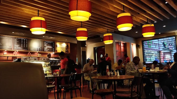
Cafe nearby Pizza Ini
Pizza Ini
Nairobi, Kenia
contacts phone
:
+254
Latitude:
-1.31938
, Longitude:
36.8368578
larger map & directions
read more
nearest Cafe
9 m
creamy inn
Mombasa Rd, Nairobi City
Cafe
read more
142 m
Chips hotel
Popo Road, Nairobi City
Cafe
read more
462 m
Urban Coffee (Capital Centre)
Catipal Centre Mall,, Mombasa Road, Nairobi
Cafe
read more
463 m
Java House - Capital Centre
Mombasa Road, Capital Centre Building, Nairobi
Cafe
read more
465 m
Java Capital Centre
South B, Nairobi City
Cafe
read more
483 m
Eating Point Cafe
Sore Road, Nairobi City
Cafe
read more
751 m
The Nest Berger Cafe
Daidai Road, Nairobi City
Cafe
read more
797 m
Fast Bizz Foods
Daidai Road, Nairobi City
Cafe
read more
989 m
CCN Cafe
Mkoma Road, Nairobi City
Cafe
read more
1.044 km
Hopes Cafe
Riverbank Estate, Nairobi City
Cafe
read more
1.282 km
royal cyber cafe
Nairobi
Cafe
read more
3.218 km
Stomach Clinic Cafe
Station Road, Nairobi City
Cafe
read more
3.51 km
County Candy Shop
Red Cross Lane, Nairobi City
Cafe
read more
3.852 km
Base Cafe And Caterers
Interfina House, Ronald Ngala Junction, Tom Mboya Street, Nairobi
Cafe
read more
4.029 km
iwesotechnology
Tom Mboya Street, Nairobi
Cafe
read more
4.051 km
Amina Cafe
Mama Ngina Street, Nairobi City
Cafe
read more
4.054 km
Mama Ngina Cafe
Mama Ngina Street, Nairobi City
Cafe
read more
4.161 km
Techbuyz Cyber Cafe
Nairobi
Cafe
read more
4.164 km
KA coffee
Standard Street, Nairobi City
Cafe
read more
4.239 km
Chips & Chicken Cafe
Cross Road, Nairobi City
Cafe
read more
4.513 km
Atasi Cafe
Biashara Street, Nairobi City
Cafe
read more
4.872 km
Box Mess
Mamlaka Road, Nairobi City
Cafe
read more
5.137 km
Really Good Food (RGF)
Ngara Road, Nairobi City
Cafe
read more
5.155 km
Ngara One Milk Cafe
Ngara Road, Nairobi City
Cafe
read more
5.314 km
Central Catering Unit
Estate, Nairobi City
Cafe
read more
📑
all categories
Accounting
Administrative area level 1
Airport
Amusement park
Aquarium
Art gallery
Atm
Bakery
Bank
Bar
Beauty salon
Bicycle store
Book store
Bus station
Cafe
Campground
Car dealer
Car rental
Car repair
Car wash
Casino
Cemetery
Church
City hall
Clothing store
Colloquial area
Convenience store
Courthouse
Dentist
Department store
Doctor
Electrician
Electronics store
Embassy
Establishment
Finance
Fire station
Florist
Food
Funeral home
Furniture store
Gas station
General contractor
Grocery or supermarket
Gym
Hair care
Hardware store
Health
Hindu Temple
Home goods store
Hospital
Insurance agency
Intersection
Jewelry store
Laundry
Lawyer
Library
Liquor store
Local government office
Locality
Locksmith
Lodging
Meal delivery
Meal takeaway
Mosque
Movie rental
Movie theater
Moving company
Museum
Natural feature
Neighborhood
Night club
Painter
Park
Parking
Pet store
Pharmacy
Physiotherapist
Place of worship
Plumber
Point of interest
Police
Political
Post office
Premise
Real estate agency
Restaurant
Roofing contractor
Route
Rv park, camping
School
Shoe store
Shopping mall
Spa
Stadium
Storage
Store
Subpremise
Subway station
Supermarket
Synagogue
Taxi stand
Train station
Transit station
Travel agency
University
Veterinary care
sublocality level 1
↑